
Mount Tom - 4051 feet
Trails - Avalon Trail (1.3) to A-Z Trail (1.0) to Mount Tom Spur (0.5)
Round Trip Mileage - 5.6 miles
Difficulty - Average (could have been easier with sandwiches)
Weather - wiiiindy and crisp
The Saturday morning of Columbus Day weekend arrived in a whirlwind. I had just returned home from three weeks of training for a new job in Virginia and had driven all night, racing the sun, to get home to little Rhodey by morning. I had hardly finished unpacking my car when I repacked it and headed up for a weekend of camping in Crawford Notch, right in the heart of the White Mountains.
New Hampshire is only a three hour drive from Providence, but with the holiday, the leaf peepers were out in full force. The highways were choked with traffic – I crept past families crowded like sardines into their minivans…giant motor homes blocking the orange and gold autumnal views….Needless to say, three hours expanded to nearly 6, and we reached Dry River Campground with just enough light to pitch our tent and get dinner started.
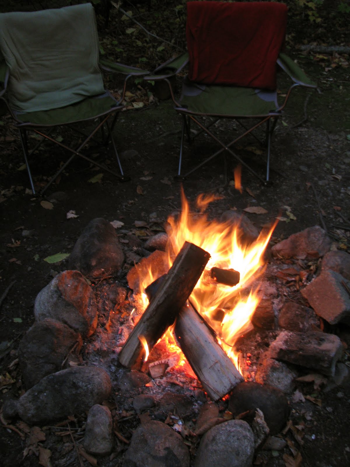
It was cold, and now I’m not talking about that kind of “nose nipping, lovely crisp fall air cold” that you see sometimes in movies or a photograph…It was in the 30s when the sun disappeared behind the stony faces of the mountains which encompassed us and the wind was howling at a solid 25 mph all night. As we settled in, nearly atop the fire to keep warm, we discussed our plan for the next day: a hike in the Willey Range. The plan was simple enough: about 10 miles – three 4,000 footers…Was that so hard?
I awoke the next morning to the sounds of children - there was a family at the site beside ours with some very enthusiastic youngsters. The watch face told the time of 8:15, which meant that I should have already been up and started hiking…whoops – ah, the fate which comes after a night of drinking in the woods. I got my bearings together, eating some delicious breakfast foods, and then headed up the road to the trailhead.
I quickly realized that I was rather unprepared. I had forgotten to make sandwiches so food sources were depleted to granola bars. The wind was still blowing like crazy too, and it seemed to take with it some of my excitement for the climb. I was feeling a bit numb (mainly from the cold), but more generally as well. I was full of breakfast and hence, a bit sluggish and there were no sandwiches and I was starting late and the wind was blowing something fierce and…things were not necessarily starting well.

I crossed the railroad tracks at the Crawford Notch Depot and started up the Avalon Trail. It had rained for a few days before the weekend, so the trail was covered with a rather slick layer of fallen leaves. The Avalon Trail was relatively easy – a steady but not particularly steep uphill with several river crossings.
After 1.3 miles of hiking, I reached the intersection of the A-Z Trail. Here, the Avalon Trail splits up to the left, towards the summit of the trails namesake, and the A-Z Trail leads onward towards the Willey Range. Speed was slow (darn sausages and eggs!) and it seemed that I was becoming disheartened by the overwhelming task before my full belly. It was clear that an executive decision needed to be made –What ever shall I do? Climb one? Climb two? Verdict came in to climb one mountain only, Mount Tom.
Thus, I hiked onward and upward. The A-Z Trail was not particularly difficult either. It had some steeper sections than the earlier hike but nothing too heart-pounding. Now that we were only bagging one peak, excitement began to replace dread and we began towards Mount Tom smiling at a rather leisurely gait.
I reached the Mount Tom Spur Trail around 1:00 PM. The trail ascended into a beautiful conifer forest, and we were enveloped with the sweet and crisp scent of pine. The trail was very muddy and I got out boots nice and mucked up as I climbed on…Lower on the Avalon Trail, we had come across a hiker on his descent who had lost the soles to his boots and was complaining about the mud - I quickly realized that this was what he must have been referring to!
 There were several interesting ice formations on the trail – some icicles hanging from rock edge and other strange structures on the ground. As we reached closer to the summit, the mud began to crack under foot.
I reached the summit of Mount Tom around 1:30. The pine trees that had
surrounded me faded into the naked limbs of sun bleached trees, reaching up and stabbing at the clear sky with bare, pointed tips. As I reached the summit of Mount Tom, the trail split to the left and right. To the left is the actual summit, complete with a rock cairn as a marker, which is fully treed and was rather crowded with hikers. To the right are glorious views of Mount Washington and the White Mountains. The right side was deserted and I happily breathed in the silent air, eyes overwhelmed by the views.

Mount Washington from Mount Tom
Without a tasty sandwich to savor at the summit, I too my fill of the vistas and returned to the spur trail.
By now, the wind had died down to a mere groan and the descent was pleasant and fairly warm. I began the trek back, retracing footsteps of yore. A ways down, my ears took me an a beautiful detour to a site on the right side of the trail - a cascading waterfall where we took a short break to relax my legs.  Continued back tracking over familiar streams and ended up back at the railroad depot around 3:30. It was definitely a roller coaster ride of a hike, but the accomplishment was well worth the emotional ups and downs!
No comments:
Post a Comment